Anúncios
Productive means repeatable bites, steady fish presence, and a place you can return to across changing conditions. This introduction shows how to spot those areas on any lake, from small park ponds to big reservoirs and Great Lakes.
New York State alone has 7,500 lakes and ponds and over 70,000 miles of rivers, so anglers in the United States have many options. Expectations change with size, pressure, and forage. Small park lakes may yield quick wins; large systems need pattern work.
We use a simple framework: habitat features like cover and structure, reading the lake shape, timing, and matching species to conditions. These checks help you find consistent opportunities from shore or by boat.
This guide is practical and list-style. You’ll get quick shore checks and boat-ready upgrades, plus real examples from NYC park lakes, the Hudson River Park shoreline, and Ohio waters. Before you go, verify local rules and access limits for safety and legality.
What Makes a Lake “Fishy” Spot: Habitat Features Fish Use
Good lake locations share simple traits: cover, depth change, and places where food concentrates. These elements explain why multiple species use the same area and help you pick productive water quickly.
Anúncios
Edges and cover that hold bass and panfish
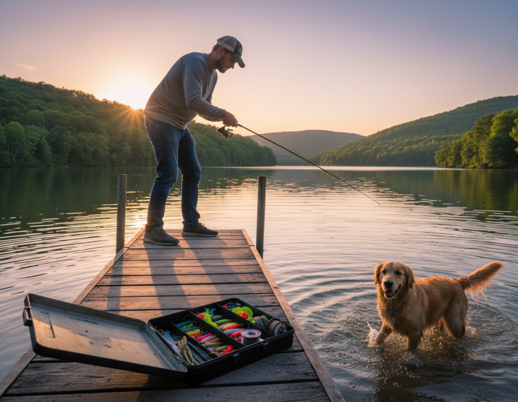
Shade lines, weed edges, docks, and downed trees create ambush lanes. Largemouth bass and common panfish set up on these edges to wait for prey.
Bluegill and sunfish often stack in protected, warmer shallows with cover. When they gather, larger predators follow the bait concentrations.
Bottom and structure zones for catfish and carp
Flats, mud-to-sand changes, and subtle contours collect food. Catfish and carp cruise these bottom zones to feed.
Anúncios
Yellow perch prefer harder patches and inside turns along vegetation edges, where they can feed along transitions.
Shallow-to-deep transitions that support variety fish
Transitions form a “comfort corridor” that lets fish slide up to feed and drop back when light or pressure changes. A point with cover plus a depth break will often out-produce a single feature.
Rule of thumb: fish cover slower and tighter; fish breaks more systematically with depth control. For ideas on enhancing structure, see artificial fish attractors.
| Habitat Feature | Common Species | What to Look For |
|---|---|---|
| Edges & Cover | largemouth bass, panfish, bluegill | Shade lines, docks, weed margins, downed timber |
| Bottom & Structure | catfish, carp, yellow perch | Flats, mud-to-sand changes, hard patches |
| Shallow-Deep Transitions | bass, panfish, perch (variety fish) | Points, drop-offs, ledges near cover |
Finding fishing spots by reading the lake like a pro
A quick scan at the access point often decides a good day on the water. Start where you can legally cast from shore or launch a small boat and cover multiple angles—down the bank, across a point, and along a weed edge.
Start where you can fish today
Choose an access that gives room to move. A short walk along riprap, a small inlet, or a park lake ramp lets anglers change angles without losing time.
Target shore-friendly holding water
Look for shaded banks, wetlands, and protected coves. In a city park, bridges, walls, and weed lines are where fish feel safe and where bites repeat.

Use depth breaks and match species
Identify where shallow drops into deeper water—those depth breaks are travel routes. From a boat, troll or pitch along the edge. From shore, cast parallel to the break.
Species logic: bass hold tight to cover; perch use edges and structure; channel catfish patrol bottom lanes near transitions. Prioritize areas where these overlap for a better chance at a variety of bites.
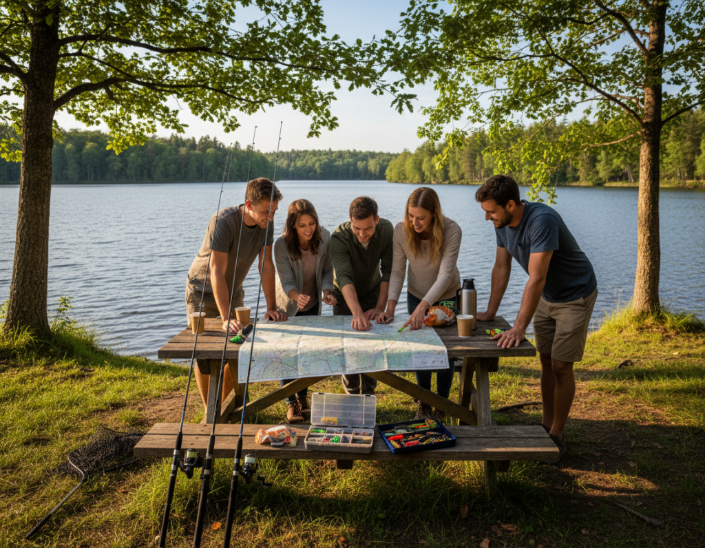
For a quick planning reference, see this sample access guide before you head out.
Timing and conditions that move fish around a lake
Seasonal shifts and short-term weather both rewrite where fish prefer to hold on any lake. Read the calendar first, then layer in wind and temperature before you pick a starting area.
Seasonal roadmap: where to look first
Pre-spawn / spawn: Target shallow flats, points, and protected bays where fish stage to spawn. These areas produce repeatable bites for bass and panfish.
Summer thermocline: Fish often split—active feeding near seams and cooler, deeper comfort water below the thermocline. Work edges and bait corridors between those zones.
Fall feed-up: As water cools, species move shallow to feed. This is prime time for perch, walleye, and migratory trout in some systems.
Weather, wind, and big-water tactics
Cold fronts push fish tight to cover or deep; warming trends pull them shallow and aggressive. Rain and inflows create short-term “food belts” that concentrate bait.
Use wind to your advantage: wind-driven banks stack bait and trigger feeding along blown-in shorelines. On calm bright days, prioritize shade lines and deeper edges.
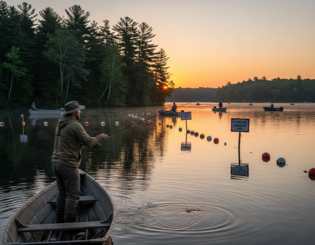
Lake Erie caution: On large lakes like Erie, conditions flip fast. Have a protected backup area and a plan to change depth ranges if the bite moves.
| Condition | Short-term Effect | Where to Start |
|---|---|---|
| Pre-spawn / Spawn | Fish move shallow to beds and staging areas | Flats, sheltered points, bays near cover |
| Summer Thermocline | Fish split between bait seams and deep cool water | Edges between shallow and deep, drop-offs, weedlines |
| Cold Front | Fish hold tighter and deeper, less active | Cover, deeper breaks, protected current seams |
| Wind & Rain | Bait concentrates on blown banks and inflows | Windward shorelines, river mouths, stained water margins |
Pre-trip checklist: check forecast, wind direction, and recent temperature trends. Pick a starting area that fits the season and expected conditions to make the most of prime hours.
Real-world spot patterns from New York and Ohio waters
Concrete case studies show how simple map reads and local rules direct success in the city and beyond.
Central Park and Harlem Meer as small-lake blueprints
Use Central Park Lake (18 acres) and Harlem Meer (~9 acres) to learn repeatable lines: shade, edges, and nearby depth. These park lakes hold bass, sunfish, carp, catfish, and perch.
Tip: man-made cover—walls, bridges, docks—creates consistent holding water in otherwise feature-light basins.
Hudson shoreline and Brooklyn estuary logic
Hudson River Park stretches 4.5 miles and supports 70+ species. Treat the shoreline as a system where current, structure, and season let you rotate productive areas.
Brooklyn Bridge Park’s estuary mixes fresh and salt; that brackish edge concentrates forage and favors bass, yellow perch, and panfish.
“Know local rules: many city parks require catch-and-release, barbless hooks, and anglers 16+ need a license.”
Alum Creek reservoir and Lake Erie adjustments
Alum Creek’s deep coves and shale bluffs make map-based starts simple: north for channel catfish in spring, south for smallmouth lines and boat work on breaks.
Lake Erie offers top perch and walleye action but changes fast—be ready to move and choose sheltered shore or boat options for safety.
| Location | Key Features | Primary Species |
|---|---|---|
| Central Park Lake / Harlem Meer | Small acres, man-made cover, accessible shore | largemouth bass, bluegill, carp, catfish, perch |
| Hudson River Park | 4.5 miles of shoreline, current, tidal influence | striped bass (seasonal), mixed river species |
| Alum Creek (OH) | Deep coves, shale bluffs, multi-access | channel catfish (north), smallmouth (south) |
| Lake Erie | Large lake, rapid condition shifts | yellow perch, walleye |
For a regional Ohio reference on tributary changes and access planning, see Ohio high-water examples.
Conclusion
A simple routine—scan habitat, read transitions, then adjust for weather—turns random outings into repeatable results.
Start with the highest-percentage cover you can reach: shade, docks, or a depth break. Work points that tie cover to clear transitions. If bass or largemouth grow quiet, shift toward catfish or panfish areas to keep fish on the line.
Before your next trip, pack an access plan and check wind and forecast. Choose two shallow options, two deeper-break options, and one backup for changing water.
Keep a short log (date, weather, clarity, depth, bites). Verify licenses and local rules when moving between rivers, lakes, and coastal areas, and use tools like HuntFishNY at home to confirm regs and stocking info.
With smarter spot selection and a simple checklist, most anglers can catch more fish without costly gear—just better decisions about where to spend time.